

Cadastral services
A full range of services related to the cadastral map and cadastral registers — from a property sketch to registering new buildings and facilities — licensed by the Geodesy, Cartography and Cadastre Agency.
List of services
-
An official sketch of a property in an urbanised territory under the Law on Cadastre and Land Registry and Ordinance No. RD-02-20-4. An application and an identity document are required; if the applicant is not the owner — a notarised power of attorney.
-
The same service for properties outside urbanised territories, under Art. 49b and Art. 55 of the Law on Cadastre and Land Registry. We prepare the application and the necessary documents.
-
A sketch of a building in an urbanised or non-urbanised territory under the Law on Cadastre and Land Registry and Ordinance No. RD-02-20-4. An application, an identity document and a power of attorney in case of representation are required.
-
For a separate unit (apartment, office, garage) in a building or in a technical infrastructure facility — under Art. 49b and Art. 55 of the Law on Cadastre and Land Registry.
-
Certifies whether there is data for the property in the cadastral map and cadastral registers — under Art. 55, para. 2 of the Law on Cadastre and Land Registry.
-
Reflecting changes in the cadastral register of real estate under Art. 51 and Art. 53 of the Law on Cadastre and Land Registry — based on registrable ownership documents, a sketch and a certificate of heirs, where applicable.
-
Needed for determining the tax valuation of the property. Issued under Ordinance No. 49/2004 on maintaining the map of restored ownership.
-
After a control check of the digital data, the regional cadastre office certifies whether the amendment project has been accepted. We prepare the project and submit it for checking.
-
New buildings, demolished structures or changed boundaries are reflected in the cadastral map under Art. 51 and Art. 53 of the Law on Cadastre and Land Registry. We prepare the amendment project and the documents.
-
For registering new separate units in a building or changes to existing ones — under Ordinance No. RD-02-20-4 and Tariff No. 14.
-
The coordinates of boundary and detail points of the property, under Art. 55, para. 2 of the Law on Cadastre and Land Registry — upon an application with a list of the property identifiers.
-
A copy of the cadastral map or part of it in graphic form, under Art. 55 of the Law on Cadastre and Land Registry and Tariff No. 14.
-
Dividing a property into two or more parts: an on-site survey, a subdivision project and a project for amendment of the cadastral map — all technical activities in line with the regulatory requirements.
-
When the property appears in different plans from different years (land redistribution, map of restored ownership, an old cadastral plan, regulation), the combined sketch establishes its identity — needed for a design visa, boundary changes or restoration of ownership.
-
Links the different identifiers under which a property has been recorded in the plans over the years, so that it is beyond doubt that the documents describe the same property.
-
When acquiring a property by prescription (possession for over 10 years): we survey the property and/or the building and prepare a project for reflecting it in the cadastral map, which is submitted to the regional cadastre office.
-
A mandatory condition for commissioning a new building: we survey the building and the utilities (water mains, heating pipelines, gas pipelines, cables, shafts, transformer stations) and prepare all documents for registration in the cadastre. With a power of attorney, we represent you before the institutions.
SELECTED PROJECTS
Cadastral projects
Since 21.11.2019 TRANSGEO has been a legally authorised entity of the GCCA. Cadastral maps and registers from our Projects page — for districts and village lands and for the land of the railway infrastructure.
| Project | Client | Period |
|---|---|---|
| Creation of cadastral map and cadastral registers for the territory of the Vazrazhdane district of Sofia Municipality | Geodesy, Cartography and Cadastre Agency | 2014–2016 |
| Creation of cadastral map and cadastral registers for the territories of the lands of the town of Zlataritsa and the village of Kalaydzhii, Zlataritsa municipality, Elena court Region, Veliko Tarnovo District | Geodesy, Cartography and Cadastre Agency | 2009–2010 |
| Establishment of the cadastral map and cadastral registers for the land of the National Railway Infrastructure Company along the Birimirtsi – Poduyane-Razpredelitelna railway line | National Railway Infrastructure Company (NRIC) | 2008–2009 |
| Establishment of the cadastral map and cadastral registers for the NRIC land along railway line No. 3, in the section from km 102+740 to Karlovo railway station, Plovdiv District, with separation of private from public state property | National Railway Infrastructure Company (NRIC) | 2008–2011 |
| Development of a cadastre map and registers of the real estate property of NRIC in the area of Kazanlak railway station in compliance with the Law on Cadastre and the Land Register | NRIC — PEPZhI Stara Zagora | 2006–2008 |
| Creation of GMMP of Court district Kotel and digitising and analysis of the cadastre plans and registers of the urbanised territories of Kotel municipality and Nova Zagora municipality, section I | Cadastre Agency | 2005–2006 |
GET IN TOUCH
Need a cadastral sketch or a change to the cadastre?
Offices in Sofia, Sliven and Plovdiv
Office hours: Monday–Friday, 09:00–17:00
MORE FROM TRANSGEO
Explore our other services
-
 Railway infrastructure design
01
Railway infrastructure design
-
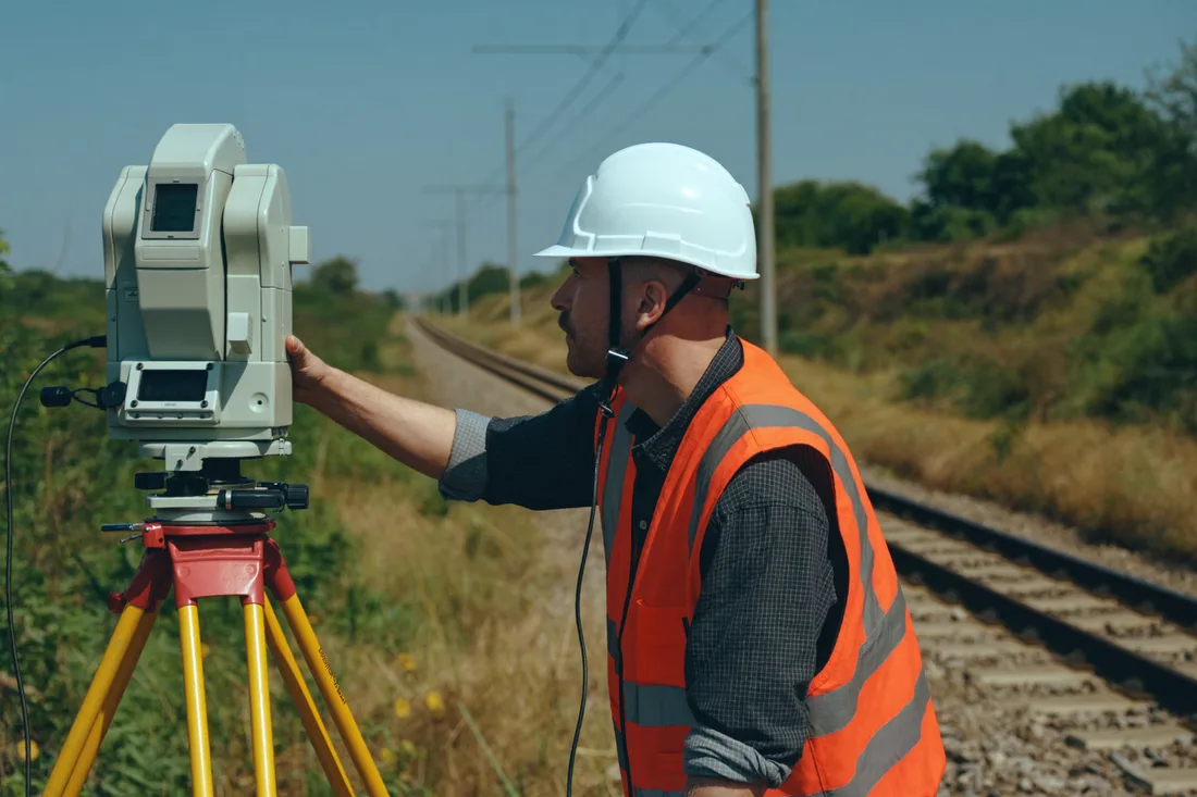 Geodetic services
02
Geodetic services
-
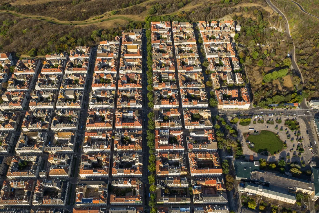 Detailed development plans
04
Detailed development plans
-
 Construction supervision and conformity assessment
05
Construction supervision and conformity assessment